
Can my course be done?
Find out if your course can be built — for free, no obligation.
Send me your course name and address. I’ll check the LiDAR elevation data, tell you honestly whether it can be built in GSPro, and give you a real price — before you spend a dollar.
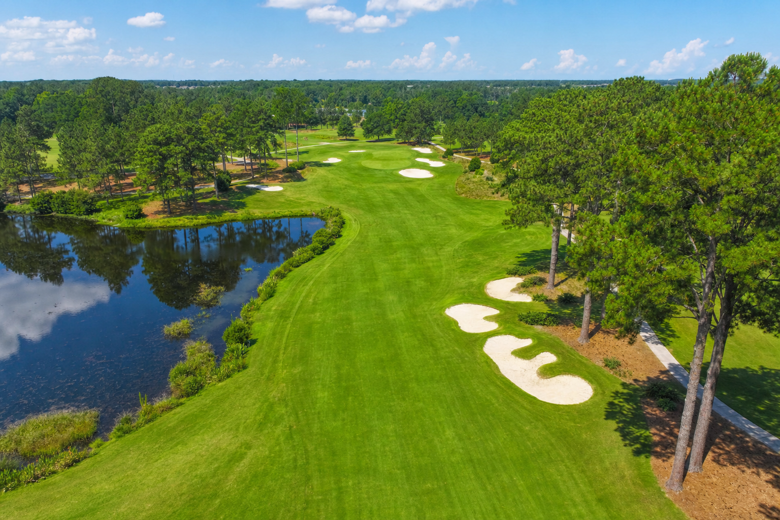
Real elevation data becomes a true-to-life playable course — right down to the contours of every fairway.
Three steps to your course.
No technical jargon, no upfront payment — just a straight answer and a real quote.
Submit your course
Fill out the short form below with your course’s full name and address — that’s all I need to start.
I check LiDAR coverage
I personally review public elevation data for your exact location to confirm there’s enough detail to build an accurate course.
You get pricing & timeline
I’ll email you directly to confirm whether it’s a go, along with a clear estimate and no pressure to move forward.
Build it your way.
Every course starts from a solid, true-to-life base. Add only what you want on top.
Base Course — GSPro
True-to-life terrain and elevation, ready to play on your sim. Includes 4 pins and up to 5 tee boxes.
Starting price
Cart Paths & Roads
Realistic cart paths and roads laid throughout the course — takes real extra work to get right. Cost depends on course layout, included in your custom quote.
Buildings & Houses
Courses look far more professional with the real homes and buildings around them seated properly. Cost depends on how many buildings your course needs, included in your custom quote.
Fencing
Purely aesthetic, but it looks great. Hundreds of fence styles available to match your course, included in your custom quote.
White Glove Hours
2 hours of live Zoom editing are already included. Additional hours available if you’re detail-oriented about every inch, included in your custom quote.
💬 Can’t swing the full price solo? Get a few buddies who play the course to chip in — it happens all the time.
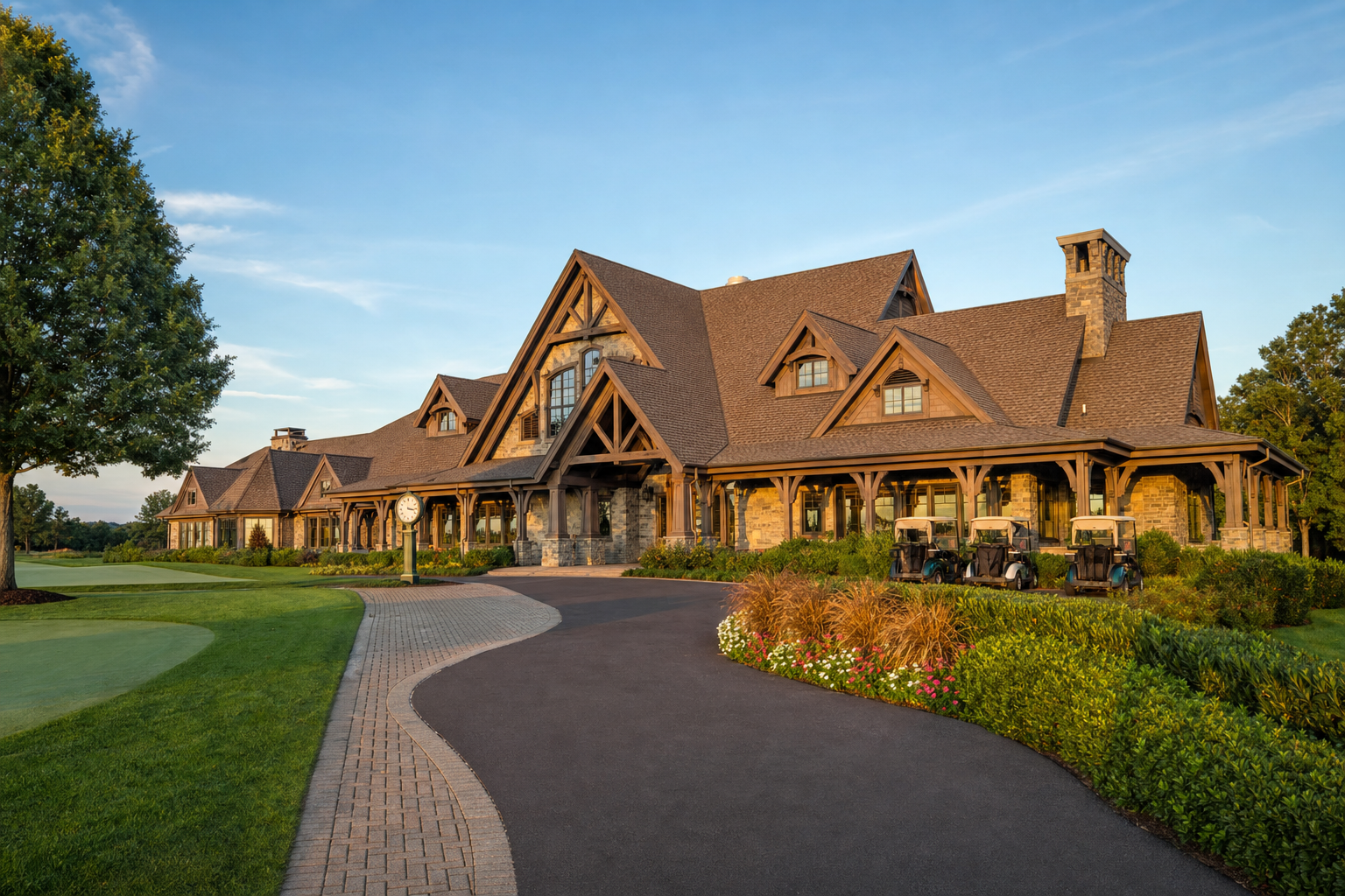
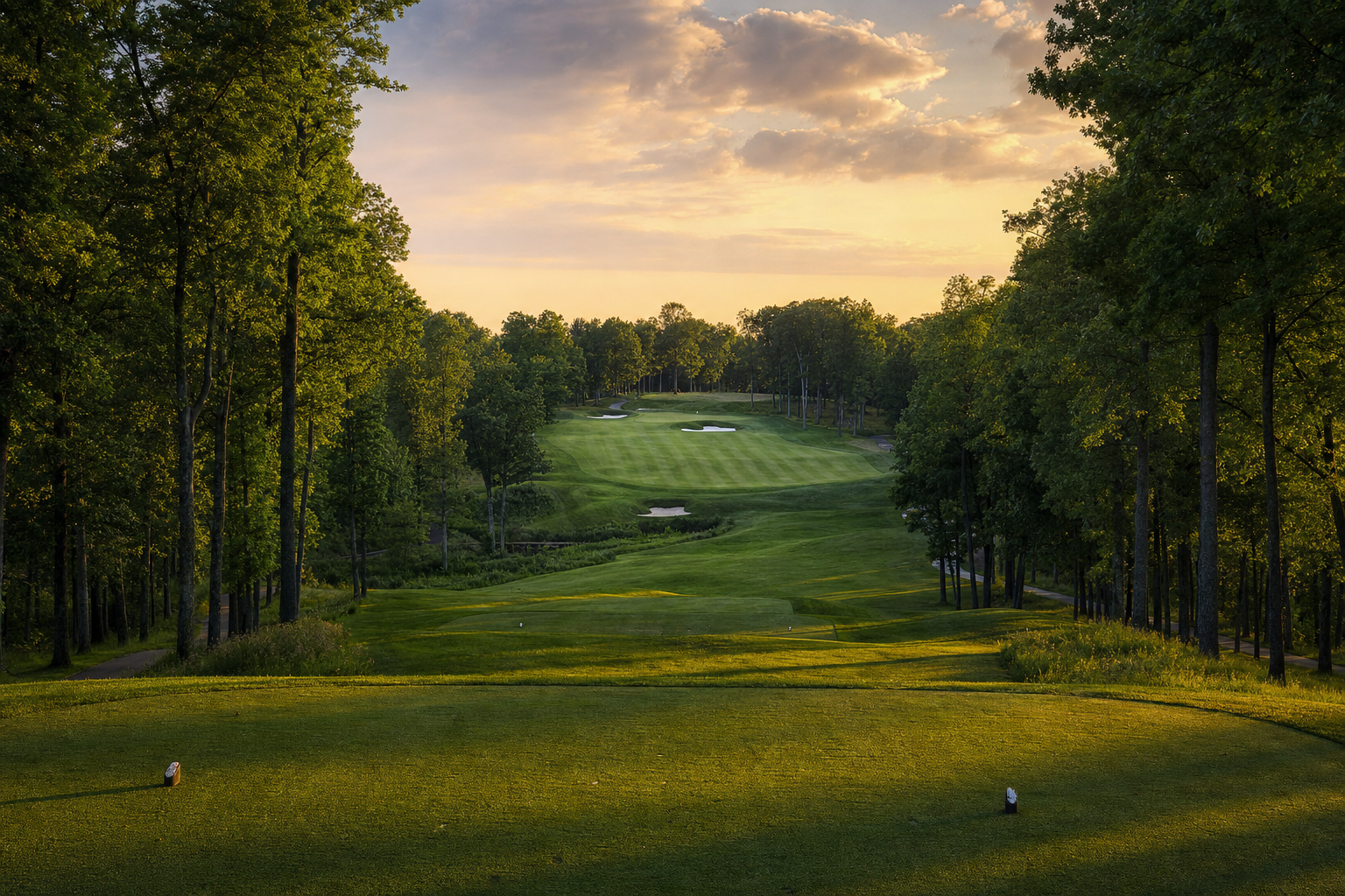
What LiDAR accuracy actually looks like.
A sample of the kind of detail your finished course can have.

Let’s check your course.
Include the full course name and address — that’s the only thing I need to check LiDAR coverage.
- ✓ Whether your course can be built in GSPro
- ✓ A real, itemized price estimate — no surprises later
- ✓ An honest answer, even if it’s a no
- ✓ Zero obligation to move forward
Questions first? Check out what other customers are saying — Thank you, Kent
Before you submit.
Do you build for platforms other than GSPro?
I now build exclusively for GSPro — it’s the more actively developed platform with the largest and fastest-growing custom-course community. If you’re on a different simulator platform, reach out and let’s talk about your options.
What if there’s no LiDAR data available for my course?
Not every location has public elevation data detailed enough to build an accurate course. If that’s the case for yours, I’ll tell you honestly during the free review — no charge, no pressure, and no course gets built on guesswork.
How long does it take to build my course?
Turnaround depends on course complexity and current queue, but most builds are completed within a few weeks of approval. I’ll give you a specific timeline along with your quote.
Can you build courses outside the United States?
Yes — I’ve built courses in Canada, the UK, Germany, Australia, and New Zealand, among others. Elevation data quality varies by country, which is exactly what the free review checks.
Is submitting the form really free, with no obligation?
Yes. Submitting the form only gets you an honest answer and a price estimate. You decide afterward whether you’d like to move forward — there’s no charge unless you approve the build.
What does the map data actually pull from?
When your course is built, imagery and mapping data get pulled in through Bing — similar to searching your house on Google Maps and seeing an old photo of your car in the driveway. Some visual details may reflect slightly older imagery even though the terrain elevation itself is accurate.